
Bestand:DEMChablais.png
Grootte van deze voorvertoning: 800 × 502 pixels. Andere resoluties: 320 × 201 pixels | 640 × 402 pixels | 1.024 × 643 pixels | 1.280 × 803 pixels | 2.876 × 1.805 pixels.
Afbeelding in hogere resolutie (2.876 × 1.805 pixels, bestandsgrootte: 1,92 MB, MIME-type: image/png)
| Dit is een bestand van Wikimedia Commons, een verzameling van vrije inhoud die door de Wikimedia Foundation wordt gehost. Onderstaande beschrijving komt van de beschrijving van het bestand daar. |
Beschrijving
| Beschrijving |
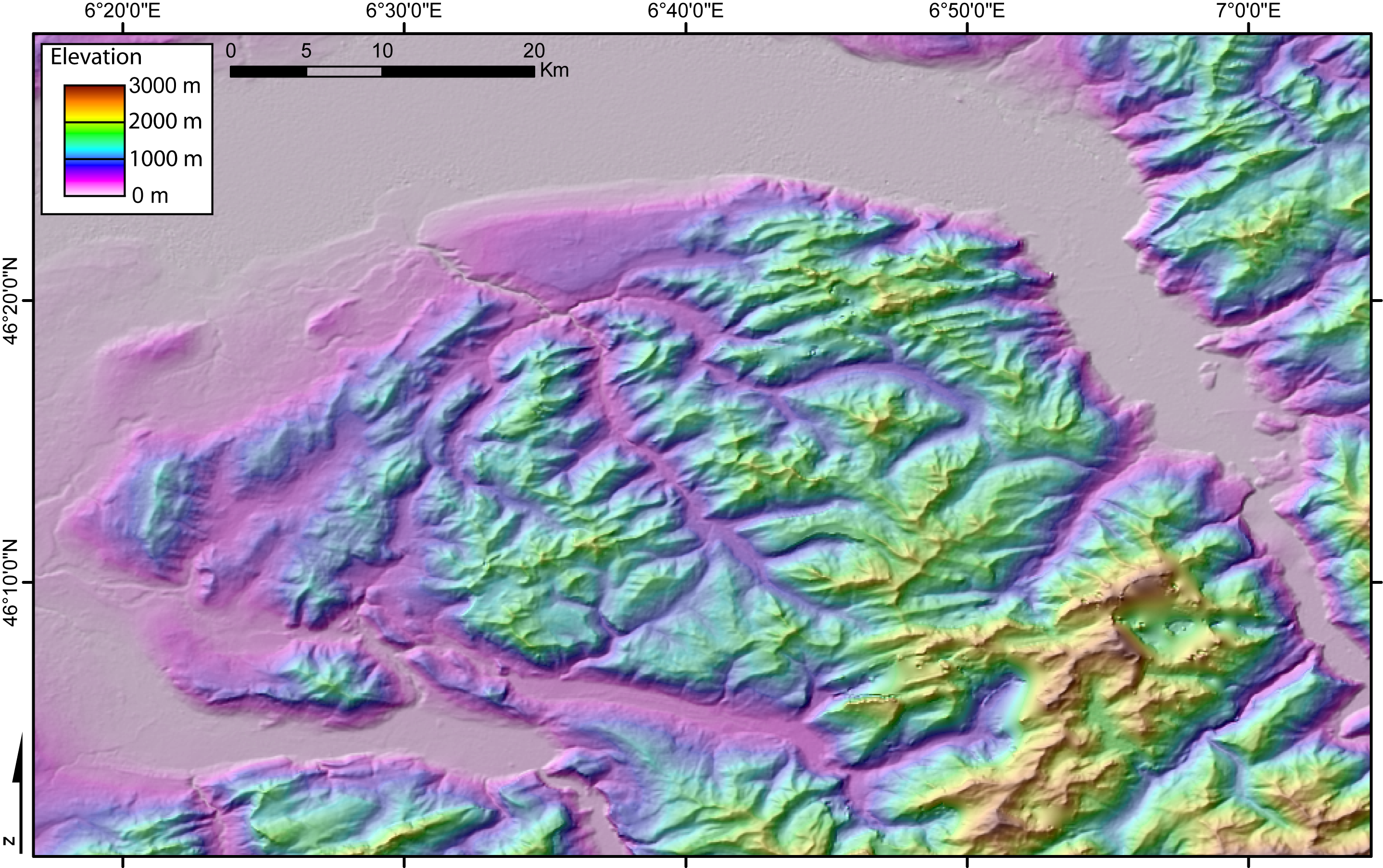
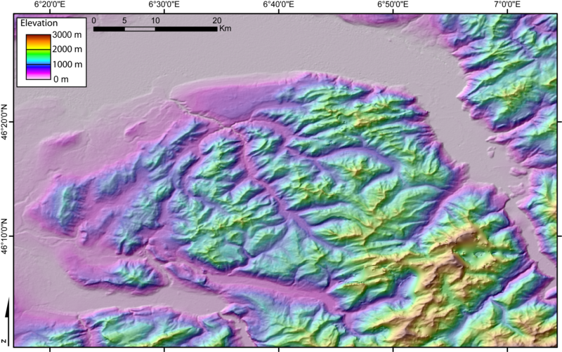
DEM of the Chablais massif (French and Swiss Alps) created by Jide from the 90m pixel size SRTM dataset. The flat area to the North is Lake Geneva. The Rhone valley is located to the East, and the wide valley to the South and SW is the Arve valley. |
| Datum | 3 november 2005 (originele uploaddatum) |
| Bron | Geen machineleesbare bron opgegeven. Eigen werk aangenomen (gebaseerd op auteursrechtclaims). |
| Auteur | Geen machineleesbare auteur aanwezig. Op basis van auteursrechtclaims wordt auteur Jide~commonswiki aangenomen. |
Licentie
| Ik, de auteursrechthebbende van dit werk, geef dit werk vrij in het publieke domein. Dit is wereldwijd van toepassing. In sommige landen is dit wettelijk niet mogelijk; in die gevallen geldt: Ik sta iedereen toe dit werk voor eender welk doel te gebruiken, zonder enige voorwaarden, tenzij zulke voorwaarden door de wet worden voorgeschreven. |
Bestandsgeschiedenis
Klik op een datum/tijd om het bestand te zien zoals het destijds was.
| Datum/tijd | Miniatuur | Afmetingen | Gebruiker | Opmerking | |
|---|---|---|---|---|---|
| huidige versie | 4 nov 2005 00:22 | | 2.876 × 1.805 (1,92 MB) | Jide~commonswiki | DEM of the Chablais massif (French and Swiss Alps) created by Jide from the 90m pixel size SRTM dataset. The flat area to the North is the Leman Lake ("lake of Geneva"). The Rhone valley is located to the East, and the wide valley to the South and SW is t |
Bestandsgebruik
Dit bestand wordt op de volgende pagina gebruikt:
Globaal bestandsgebruik
De volgende andere wiki's gebruiken dit bestand:
- Gebruikt op es.wikipedia.org
- Gebruikt op fr.wikipedia.org
- Gebruikt op it.wikipedia.org
- Gebruikt op nl.wikipedia.org