
Bestand:Blank Map of Europe -w boundaries.svg

Afmetingen van deze voorvertoning van het type PNG van dit SVG-bestand: 713 × 600 pixels Andere resoluties: 285 × 240 pixels | 571 × 480 pixels | 913 × 768 pixels | 1.218 × 1.024 pixels | 2.435 × 2.048 pixels | 2.045 × 1.720 pixels.
Afbeelding in hogere resolutie (SVG-bestand, nominaal 2.045 × 1.720 pixels, bestandsgrootte: 708 kB)
| Dit is een bestand van Wikimedia Commons, een verzameling van vrije inhoud die door de Wikimedia Foundation wordt gehost. Onderstaande beschrijving komt van de beschrijving van het bestand daar. |
bigland
Beschrijving
| Beschrijving |
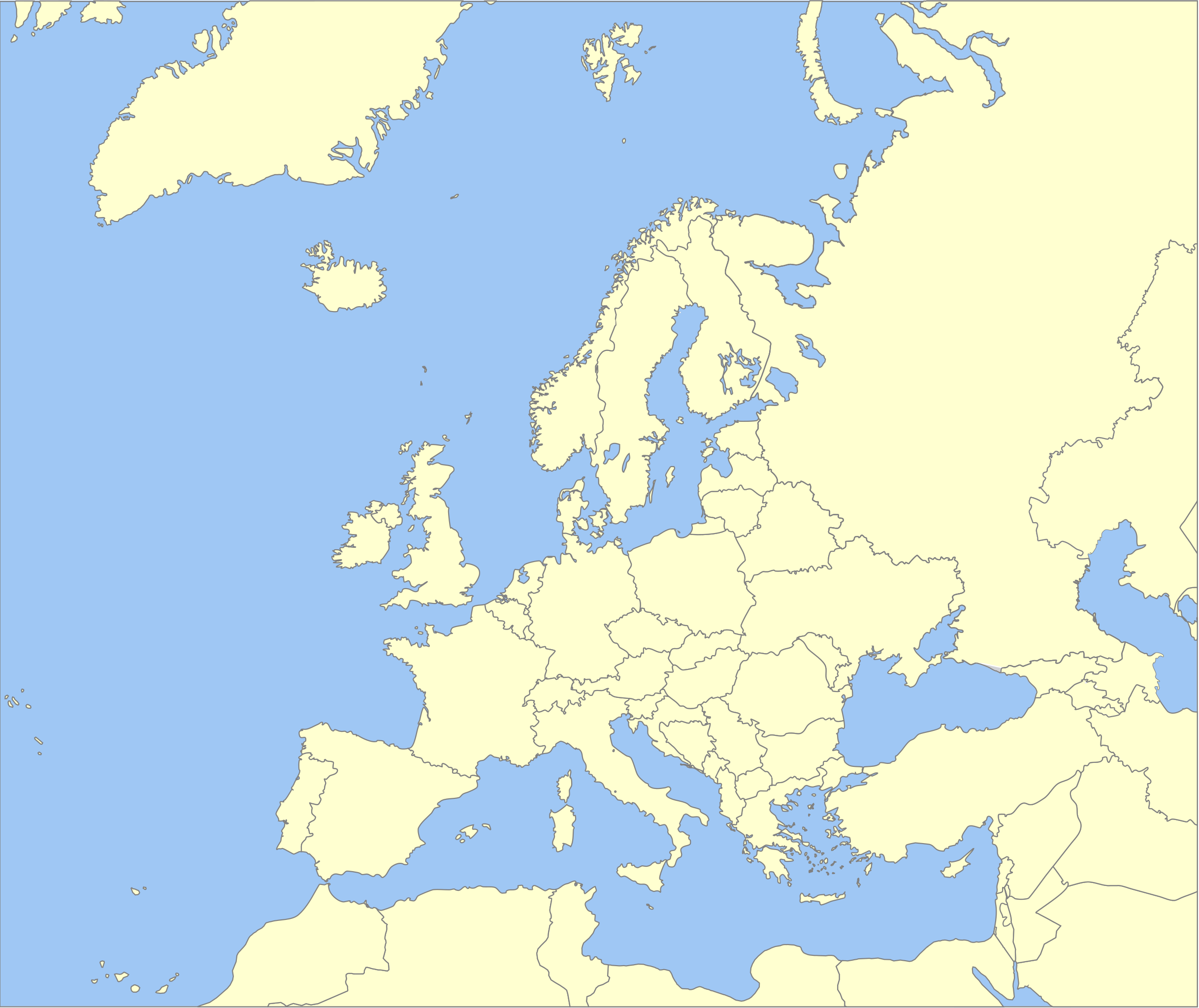
English: A political map of Europe using Wikipedia standard colors in SVG format. Note that the borders represent a second object "grouped" with the outline of Europe. |
| Bron | Eigen werk, derived from File:Location European nation states.svg version of 2008-06-12 00:57, which was itself derived from File:Location Spain EU Europe 1.svg. |
| Auteur | Madman2001 (overleg · bijdragen) |
| Andere versies |
Afgeleide werken van dit bestand: |
⧼game-header⧽
Ik, de auteursrechthebbende van dit werk, maak het hierbij onder de volgende licenties beschikbaar:

|
Toestemming wordt verleend voor het kopiëren, verspreiden en/of wijzigen van dit document onder de voorwaarden van de GNU-licentie voor vrije documentatie, versie 1.2 of enige latere versie als gepubliceerd door de Free Software Foundation; zonder Invariant Sections, zonder Front-Cover Texts, en zonder Back-Cover Texts. Een kopie van de licentie is opgenomen in de sectie GNU-licentie voor vrije documentatie. |
| Dit bestand is gelicenseerd onder de Creative Commons-licentie Naamsvermelding-Gelijk delen 3.0 Unported | ||
| ||
| Deze licentietag is toegevoegd aan dit bestand in verband met de GFDL licentie-update. |
U mag zelf één van de licenties kiezen.
Bestandsgeschiedenis
Klik op een datum/tijd om het bestand te zien zoals het destijds was.
| Datum/tijd | Miniatuur | Afmetingen | Gebruiker | Opmerking | |
|---|---|---|---|---|---|
| huidige versie | 11 sep 2014 09:59 | | 2.045 × 1.720 (708 kB) | Geigle | Reverted to version as of 01:33, 19 June 2008 |
| 11 sep 2014 09:55 |  | 744 × 1.052 (356 kB) | Geigle | == {{int:filedesc}} == {{Information |Description=RUSSIA NOT RUSSIA |Source={{Derived from|Blank_Map_of_Europe_-w_boundaries.svg|display=50}} |Date=2014-09-11 07:30 (UTC) |Author=|Author=*[[:File:Blank_Map_of_Europe_-w_boundaries.svg|Blank_Map_of_Europ... | |
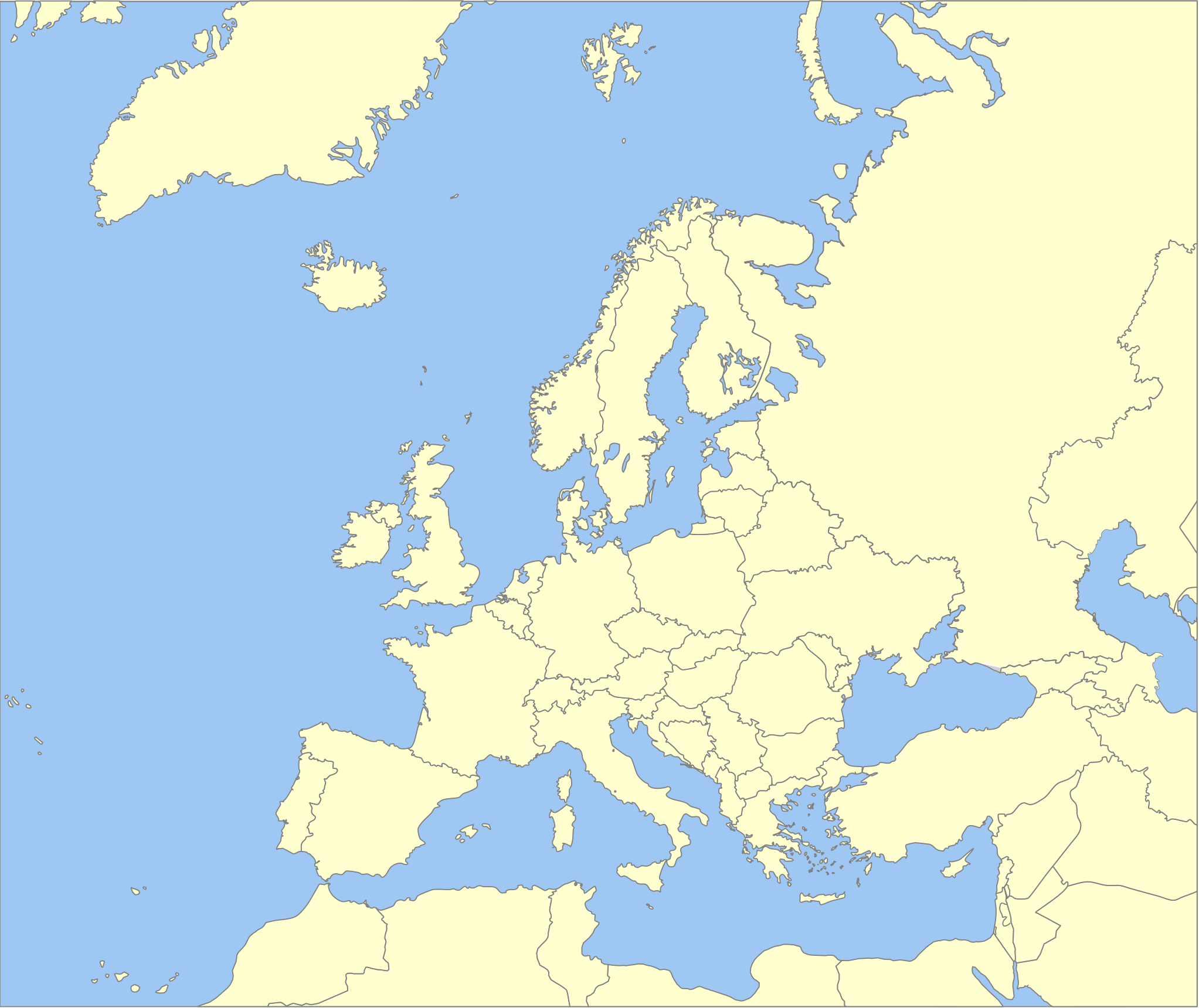
| 19 jun 2008 03:33 |  | 2.045 × 1.720 (708 kB) | Roke~commonswiki | more accurate version derived from Image:Location European nation states.svg using same colours | |
| 26 sep 2006 01:00 |  | 748 × 546 (220 kB) | Madman2001 | A blank map of Europe using Wikipedia standard colors in SVG format, based on Image:BlankMap-Europe-v5.png. Note that the borders represent a second object "grouped" with the outline of Europe. |
Bestandsgebruik
Dit bestand wordt op de volgende 2 pagina's gebruikt:
Globaal bestandsgebruik
De volgende andere wiki's gebruiken dit bestand:
- Gebruikt op be.wikipedia.org
- Gebruikt op de.wikipedia.org
- Gebruikt op en.wikipedia.org
- Gebruikt op nl.wikipedia.org